In Malinau district, SEKALA has worked with local stakeholders to conduct analysis on land investment and the potential for green economic development. SEKALA also mapped customary land in the Malinau watershed. This information was used by the local government and the customary council to enhance local land use planning.
From 2011-2013, SEKALA worked for the REDD+ Task Force and REDD+ Regional Committee of Central and East Kalimantan Provinces to provide baseline data and a base map assessment of Central and East Kalimantan. It also helped to institutionalize an integrated cadastral mapping and survey system for the Central and East Kalimantan governments; and it supported The Presidential Unit for Development Monitoring and Oversight (UKP4) with the development of a ‘One Map’ policy.
SEKALA has also worked with the World Resources Institute to develop a method for identifying degraded land and piloting land swaps in Kapuas Hulu district of West Kalimantan. This work is known as the Palm Oil Timber and Carbon Offset (POTICO) project and it involves Free Prior Informed Consent (FPIC), land use negotiation and community mapping processes.
In Berau district, East Kalimantan, SEKALA worked with The Nature Conservancy (TNC) to assist the local government to undertake spatial analysis required for setting up REDD+ in Berau, East Kalimantan. During this time, SEKALA was able to establish good networks in East Kalimantan and worked on key spatial data for East Kalimantan, such as topographic data, spatial plans, forest and peat maps and other land use data. This data was analysed to produce maps that showed some data inconsistencies and allowed stakeholders to determine which areas should be prioritized for REDD+ initiatives.
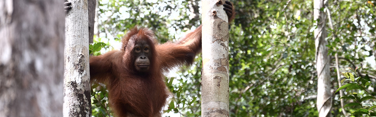
SEKALA has also worked with Fauna and Flora International in West Kalimantan to work on a landscape scale orangutan conservation initiative in Ketapang; and to establish a REDD+ demonstration project in Kapuas Hulu.